


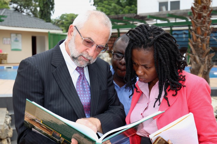
Accra, GHANA - U.S. Agency for International Development (USAID) West Africa Regional Mission conducted a two day learning workshop on September 27th- 28th in Accra, Ghana regarding land use and land cover (LULC) throughout West Africa. This second LULC regional learning workshop attracted over 125 high level technical experts and officials from seven participating countries – Ghana, the Gambia, Liberia, Sierra Leone, Nigeria, Togo and Benin to receive and review data outlined in a picturesque atlas titled, “Landscapes of West Africa - A Window on a Changing World”. The Atlas, which is coupled with an interactive website that hosts a free E-book and numerous downloads, vividly shows remarkable and subtle changes in 24 classes of (LULC) using satellite images collected in a time series from the mid-60’s, 1975, 2000 and 2013. USAID|West Africa along with partners, Comité Inter- états de Lutte contre la Sécheresse dans le Sahel (CILSS-The Permanent Interstate Committee for Drought Control in the Sahel) and the U.S. Geological Survey (USGS) documented nearly 50 years of dynamic change in LULC across the region. Now the results of this great effort are available for the masses, for free, online.
On the first day, USAID West Africa Regional Mission Director, Alex Deprez, gave opening remarks highlighting the importance of the data and encouraging the use of the atlas for decision making.. Mr. Deprez underscored the value of the project reminding all the data provided can be used as a decisionmaking tool to help all understand and deal with geographical changes projected for the next 50 years. “This tool can help us take action now that will hopefully and positively change the landscapes of West Africa, and give us a new view of our changing world.”
Key dignitaries in attendance included, Prof. Sanoussi Atta - Head, Training and Research Department, CILSS/ARC and Mr. Forster Mensah - Director, CERSGIS, Legon. On the first day, attendees were able to share their country specific findings through a poster session where participants rotated through ten posters, asked questions and offered feedback. The remainder of the time on the first and second day were used to develop action outlines during plenary sessions about how the maps could be used in various spaces to inform better decision making. The topics outlined were: i) Sustainability - How the LULC data will be updated and maintained in the long run; ii) Compliance with international agreements - How the LULC data and products meet the needs of participating countries in honoring their commitments regarding their nationally-determined contributions under the UN Framework Convention on Climate Change; iii) Support for Regional Initiatives - How LULC mapping and updates improve the effectiveness of national and regional programs such as the regional Food and Nutritional Security (FNS) program and the Food Crisis Prevention Network; and iv) Capacity Development - How LULC products should be integrated into formal education - primary, secondary and university curricula - and advance academic research and extension under such initiatives as the UN-Climate Change Learn program.
In July, the first workshop and official launch was held in Ouagadougou, Burkina Faso. The launch informed West African decision-makers, technical and financial partners in four countries – Burkina Faso, Niger, Mali and Chad – about how the atlas’ time-series maps could be used as environmental monitoring tools and how decision-makers could use the information in action plans to address the region’s environmental challenges. U.S. Ambassador to Burkina Faso Andrew Young gave opening remarks.
The third and final learning workshop will be held in December, in Dakar and will explore a similar learning agenda. This time, the last cluster of participating countries – Cape Verde, Guinea Bissau, Sénégal, Côte d’Ivoire, Guinea and Mauritania will participate. Looking ahead, the data in the atlas can be used as a decision-making tool to help understand and describe likely trends over the next 50 years and identify mitigation opportunities.
All West Africa LULC products are available to the public for download at no charge from the project’s website. Data and products acquired through the West Africa Land Use Dynamics project website have no restrictions on subsequent use, sale, or redistribution. To take a closer look at the landscapes of West Africa and the challenges confronting its people, along with the positive lessons in improved resource management, and to download tools and data, please visit: https://eros.usgs.gov/westafrica/.

Comment
Make a general inquiry or suggest an improvement.