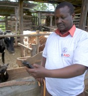
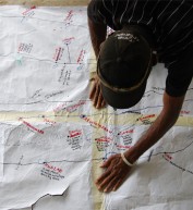
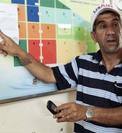
mWater is a tool that can be used to upload and visualize geospatial data describing water and sanitation systems. The user can create space to store data from a particular site and to enter data drawn from a survey administered at that site. Mapping the data and updating the data is as easy as using a smartphone app. The platform is free and there is no need to install any special software.
Access & Use Information
Public: This dataset is intended for public access and use. Specific details are provided below.
License: See this page for license information.
Under the terms of an agreement with USAID, a partner owns data it collects. Under the authority of the license that partners grant to USAID, USAID posts the data with a CC-BY license providing attribution to the partner.
Downloads & Resources
-
mWater Open API - desktop apiFor a desktop comupter, this link provides access to the tool that can be used to upload and visualize geospatial data describing water and sanitation systems. If using the smartphone app, the link http://app.mWater.co - smartphone provides access to the tool that can be used to upload and visualize geospatial data describing water and sanitation systems.
-
Landing Page landing-page


Comment
Make a general inquiry or suggest an improvement.