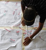
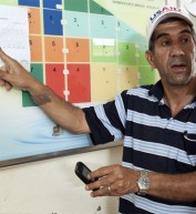
The Geo-MIS System is USAID/West Bank and Gaza's primary system for capturing and managing projectrelated information. Its purpose is to assist USAID and its partners in better planning, managing, monitoring and implementing their programs. This system is a financial tracking system that works from a GIS map. It includes most normal types of data found in a USAID financial management relational database, but these are searched and cataloged through a GIS mapping system. The system is web based and available to USAID and implementing partner users. The system allows users with permission to search the map for types of projects using various criteria, and is able to display success stories graphically. The website also allows for public user access for non sensitive data.
Access & Use Information
Restricted: This dataset can only be accessed or used under certain conditions. Specific details are provided below.
License: See this page for license information.
Preliminary access level determination. Final access level under review.
Downloads & Resources
-
No file downloads have been provided.


Comment
Make a general inquiry or suggest an improvement.