SERVIR is helping people in more than 45 countries access and use satellite imagery and climate and weather information to make better decisions about development. A collaboration between USAID and NASA, SERVIR has established hubs in West Africa, Eastern and Southern Africa, Hindu Kush-Himalaya, and Lower Mekong regions by partnering with regional technical institutions. SERVIR is helping to integrate science into useful products and tools that support better decisions about livelihoods, disasters, and economic development.
SERVIR: Connecting Space to Village
00:02:37
Video Transcript
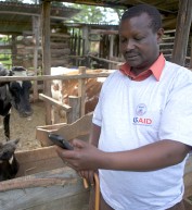
A farmer in Kenya whose crop is threatened by frost damage; A district forest officer in Nepal who won't discover a remote fire for hours or even days; and a fisherman in El Salvador, working in waters made unsafe by outbreaks of microalgae—three groups of people from across the globe with three difficult problems. What do they all have in common? They all lack key information—information that would empower them to address local challenges. In order to solve these problems, we must look to science and technology.
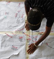
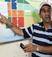
Extraordinary work is being done in space to collect information about the Earth, and SERVIR—a joint initiative of NASA and USAID—works to connect space to village. SERVIR's global network of hubs streamlines access to data and imagery from satellites, so analysts can integrate this information into tools and models that are accessible to those who need it most.
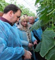
In Kenya, satellite mapping predicts potential frost areas, giving farmers time to prepare. In Nepal, near real-time fire alerts are sent via SMS and email, so forest managers learn more quickly about fires burning in their districts. In El Salvador, satellite imagery helps locate microalgae, allowing fishermen to avoid these areas. Around the world SERVIR is improving awareness about these tools and data, increasing access to information, and supporting targeted analysis. All to help people manage challenges made more difficult by a changing climate: food security, water resources, land use change and natural disasters.
Partnering with leading organizations around the world, SERVIR operates in 4 regions, with activities in more than 30 countries and counting. SERVIR gives local users the tools and skills they need to manage risk and make more informed decisions. Decisions that improve the everyday lives of people everywhere. Check out what SERVIR is doing to connect earth observation technology to improve development. And help us continue finding innovative ways to connect space to village.
Tháng mười một 15, 2011
Tháng mười một 1, 2011
Tháng mười một 1, 2011





Comment
Make a general inquiry or suggest an improvement.