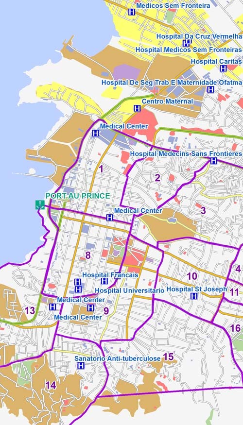
When a crisis strikes, information about the affected areas—anything as basic as a road map or as complex as the spread of contamination in connected waterways—are needed within seconds. In these situations, aid workers and emergency responders do not have time to evaluate all possible datasets in a given area to generate such geospatial visualizations.
Since 2003, USAID has funded the Geographic Information Support Team (GIST) Data Repository, the primary platform used to distribute spatial data and geographic resources required for spatial visualization.
The Data Repository, housed at the University of Georgia, is a global archive of these kinds of data collected and distributed for the greater humanitarian community including governments, the United Nations, and NGOs. Its purpose—strategically building and distributing geospatial products—significantly improves the ability of aid practitioners to deliver services.
For 10 years, the repository has been researching and learning from experience, gathering and analyzing data, sharing knowledge and resources with the greater humanitarian community, and creating an easy-to-use infrastructure that can deliver data anywhere.
In late 1999 and early 2000, GIST efforts in Kosovo following the war in the Balkans were recognized as having played a significant role in supporting the collection, coordination, and exchange of information to strengthen humanitarian assistance.
The Data Repository, one of several initiatives of the GIST, was the major actor in collecting geospatial data and information to assist in the relief efforts in Afghanistan; Democratic Republic of Congo; Southern Africa; and Iraq. Its current project is a crowdsourcing initiative in partnership with Information Management & Mine Action Programs, the World Food Program offices in Bangkok, and the GIS Corps to extract vector features from scanned atlas pages of North Korea, focusing on bodies of water, population centers, and transportation infrastructure.
Crowdsourcing is a particularly powerful tool, as it allows missions and the Agency to aggregate the creativity, intellect, and awareness of millions around the world. Such an affluence of knowledge can transform the work of development as it renders a more complete image of the situation at hand and provides an opportunity to receive exponentially more ideas for solutions.



Comment
Make a general inquiry or suggest an improvement.