![]() (177k) SERVIR-Mekong
(177k) SERVIR-Mekong
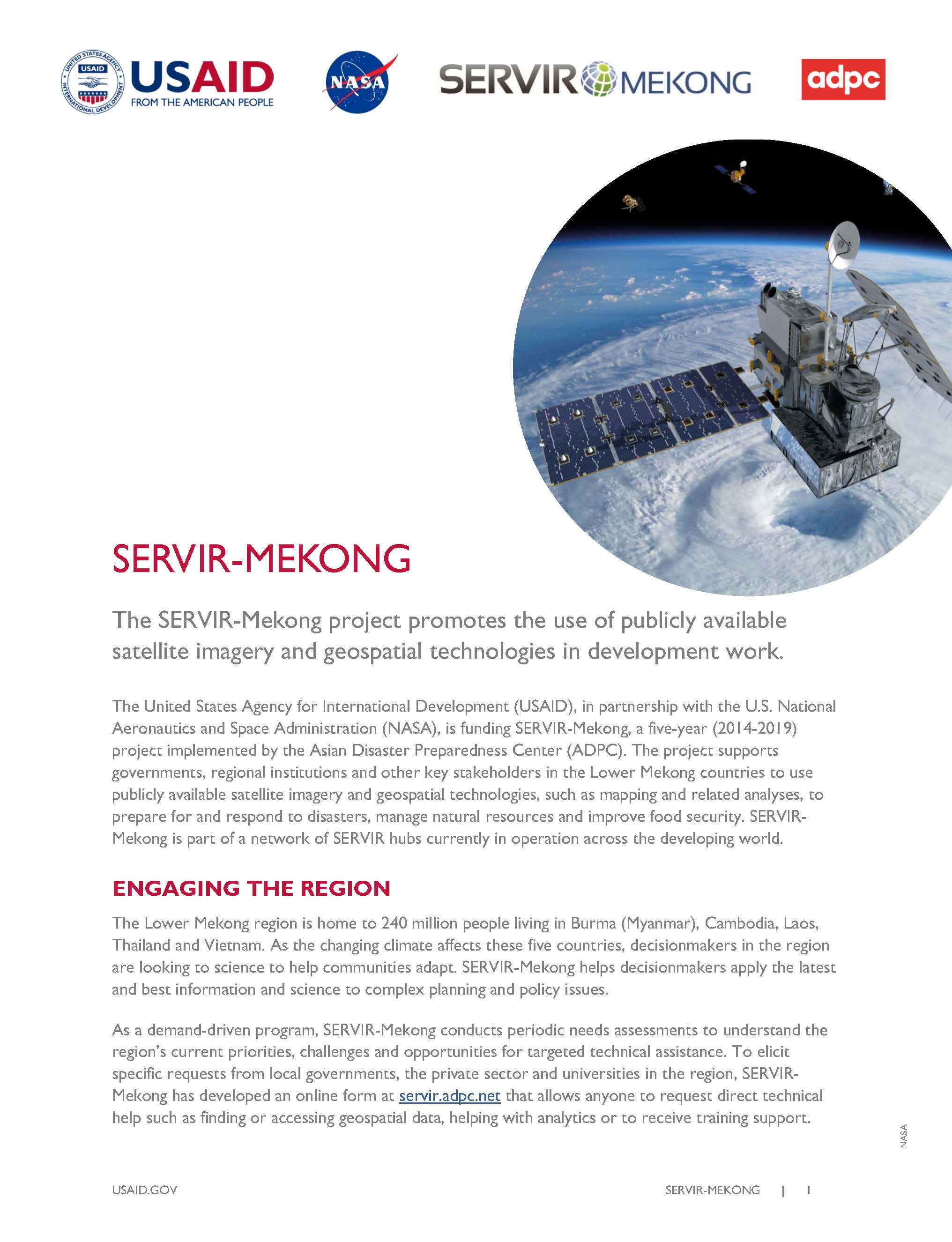
The SERVIR-Mekong project promotes the use of publicly available satellite imagery and geospatial technologies in development work.
The United States Agency for International Development (USAID), in partnership with the U.S. National Aeronautics and Space Administration (NASA), is funding SERVIR-Mekong, a five-year (2014-2019) project implemented by the Asian Disaster Preparedness Center (ADPC). The project supports governments, regional institutions and other key stakeholders in the Lower Mekong countries to use publicly available satellite imagery and geospatial technologies, such as mapping and related analyses, to prepare for and respond to disasters, manage natural resources and improve food security. SERVIR-Mekong is part of a network of SERVIR hubs currently in operation across the developing world.
ENGAGING THE REGION
As a demand-driven program, SERVIR-Mekong conducts periodic needs assessments to understand the region’s current priorities, challenges and opportunities for targeted technical assistance. To elicit specific requests from local governments, the private sector and universities in the region, SERVIR-Mekong has developed an online form at servir.adpc.net that allows anyone to request direct technical help such as finding or accessing geospatial data, helping with analytics or to receive training support.The Lower Mekong region is home to 240 million people living in Burma (Myanmar), Cambodia, Laos, Thailand and Vietnam. As the changing climate affects these five countries, decisionmakers in the region are looking to science to help communities adapt. SERVIR-Mekong helps decisionmakers apply the latest and best information and science to complex planning and policy issues.
SHARING GEOSPATIAL DATA, TECHNOLOGIES & EXPERTISE
In partnership with NASA, local universities and other SERVIR hubs, SERVIR-Mekong addresses information gaps with custom data sets, decision tools and best practices guides. Geospatial analyses supported by SERVIR-Mekong allow for effective visualization of changes to natural resources, infrastructure and other phenomena, providing a more integrated view of complex development challenges.
Developing regional platforms and learning activities on geospatial information increases collaboration between technical institutions and universities. With support from SERVIR-Mekong, decisionmakers can apply the best available science and technology to manage environmental resources and build resilience to natural hazards.
IMAPACT AND RESULTS
In the first two years of implementation, the SERVIR-Mekong project conducted a comprehensive regional geospatial needs assessment to set project priorities and worked with partners to develop and make available a Surface Water Mapping Tool, a Land Cover Monitoring System and a Drought and Crop Yield Information System. To increase awareness and access to geospatial information, the project has created a web-based geoportal where geospatial information and other tools are continually being uploaded for free access.
PARTNERS
USAID partners include NASA, ADPC, Spatial Informatics Group, Stockholm Environment Institute, Deltares and a variety of other international and local development partners. ADPC is a regional non-government organization working closely with governments in Asia to build resilience to natural hazards.



Comment
Make a general inquiry or suggest an improvement.